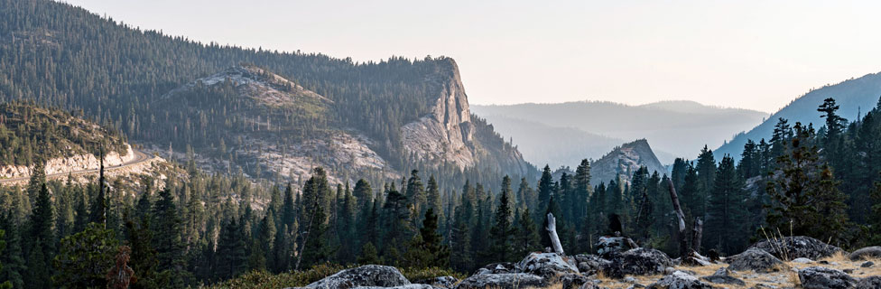
OHV Routes around Echo Summit
The Eldorado Forest on the west slope of Echo Summit is famous for its off-road opportunities. Miles of trails are found for motorcycles, 4-wheel vehicles, and all-terrain vehicles.
The Eldorado National Forest has free Motor Vehicle Use Maps available at Ranger Stations. These show the various OHV roads and trails and which types of vehicles may be used on them. You can pick one up at the Placerville Ranger District office at 4260 Eight Mile Road, Camino - (530) 644-2324. The maps are also available on the internet:
Placerville Motor Vehicle Use Map, Highway 50 Elkins Flat Insert
Placerville Motor Vehicle Use Map, Highway 50 South Overview
Pacific Ranger District Motor Vehicle Use Map, Side 1, Crystal Basin - Loon Lake, Union Valley, and Ice House Inserts
Pacific Ranger District Motor Vehicle Use Map, Side 2, Crystal Basin Overview
Rubicon Trail
The Rubicon Trail is considered by many to be the best OHV route in the country. The 12-mile trail leads from northern El Dorado County near Loon Lake across the Sierra crest and down to Lake Tahoe, winding through forest and rugged granite terrain. It has the reputation for being a very difficult 4-wheel route, due to its narrow passages, rocky climbs, and occasional mud holes. Because of its difficulty, the trail is recommended for short wheelbase vehicles with all skid plates in place.
Two trailheads lead onto the Rubicon Trail from the west, Loon Lake and Wentworth Springs. The two routes soon converge at Ellis Creek. Sections of the trail are well known to 4-wheelers: Little Sluice, Granite Slab, Old Sluice, and Big Sluice. El Dorado County, along with Rubicon Trail Foundation, has developed trail markers, maps and educational materials to inform the public of the trail location.
Elkins Flat OHV Routes
The Elkins Flat OHV area contains 65 miles of trails and roads. It is linked to the Gold Note OHV system (see below) All of the trails are designated for motorcycles only.
Staging Areas
Elkins Flat Staging Area can be accessed from Highway 50 near Placerville, Highway 88 near Jackson, and from the Gold Note OHV trail system.
From Highway 50: Thirteen miles east of Placerville turn right on Sly Park Road and then Mormon Emigrant Trail (just past Jenkinson Lake). Drive 10 miles and turn right on North South Road, going 12.5 miles to Plummer Ride and OHV route 31. This is the first access to the Elkins Flat Trail System. Continue on North South Road for an additional 4.5 miles to reach Elkins Flat and the staging area.
From Highway 88: Drive east 27.0 miles and turn onto Omo Ranch Road for 0.7 mile. Then turn right on North South Road and travel 7 miles to Elkins Flat.
From Gold Note OHV Area: Take route 36 north to Elkins Flat OHV route 25. Turn right on Route 25 and drive 1.5 miles to reach the Elkins Flat staging area.
OHV Routes
Route 25 - Big Mountain Loop, 16.7 miles, difficult. The north portion of this loop follows a narrow trail on an old railroad grade. The south portion is a series of trails on top of Big Mountain Ridge.
Route 26 - Caldor Loop, 22 miles, difficult. This is the longest loop and consists mostly of rocky ridge tops which are most difficult to ride. However, it follows a road out of Elkins Flat which is fun, easy and leads to other dirt roads which are open to OHV use. The trail on Plummer ridge winds around under the trees with few rocks.
Route 27 - Short Cut, .8 miles, moderate. This short ridge-top trail shortens loop 26 slightly.
Route 28 - Simpson Gulch, 2.6 miles, difficult. This is another ridge top trail that shortens loop 26 and is not as rocky.
Route 29 - Cat Creek, 1.5 miles, moderate. This is another moderate rocky trail that just about splits route 26 in half.
Route 30 - Ridge Run, 3.2 miles, difficult. This is a tie trail which may be used to shorten the Caldor Loop Trail. It runs along a ridge top between McKinney Creek and Plummer ridge.
Route 31 - Plummer Ridge Loop, 14.6 miles, difficult. This Route Consists of roads, trails and a railroad grade. The roads and railroad grade can be easy and fun to ride, but beware - some of the trail sections are most difficult.
Route 32 - X-Over, 1.2 miles, easy. This route is a road that links route 26 with Route 31.
Route 33 - Steely, .4 miles, moderate. This route is a short trail that ties route 26 to route 31. It travels up and over a small hill.
Route 34 - 49er, .75 miles, difficult. This is a shortcut between Dogtown Creek and Plummer Ridge. It climbs up a steep rocky ridge
Elkins Flat OHV Map
Gold Note OHV Routes
The Gold Note OHV area spreads north of Highway 88, mostly along the western side of the Middle Fork Cosumnes River, with motorcycle routes connecting north to Elkins Flat. Elevations range from 4,000 to 6,000 feet. Snow on some of these routes can last into late spring. Usually this area is open from May through October.
Access to the Gold Note OHV Routes
From near Cooks Station Via Omo Ranch Road: 27 miles east of Jackson on Highway 88 take Omo Ranch Road. Follow it for 0.7 miles and then turn right onto North-South Road. Follow it down to Sopiago Creek and up the other side 4.5 miles to Five Corners. This is a popular staging area.
Sopiago Road Staging Area: From Five Corners continue north 0.7 miles and then turn left. Follow that road 4 miles to a large staging area.
Most Popular Routes
Gold Rush (Route 33): This 18-mile loop of moderate difficulty follows narrow manzanita lined trails and at times offers scenic ridge-top views.
Hard Rock (Route 34): For motorcycles only, a 0.75-mile cutoff from Route 33. Moderate difficulty with a short hill-climb to the ridge top.
Red Gold Mine (Route 40): For motorcycles only, a 0.5-mile cutoff trail on Route 33, cutting the route in half.
PiPi Grade (Route 35): An easy 5.8-mile loop, good for beginners. Mostly roads.
Elkins Gold (Route 36): For motorcycles only, a 5.2-mile route that connects to Elkins Flat. With steep, narrow trail sections, Elkins Gold is rated most difficult.
Books
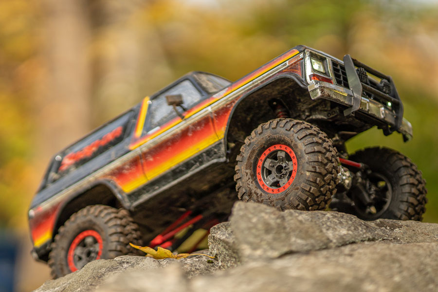
Peter Massey's California Trails, Northern Sierra Region (shown here) is an amazing guide to OHV trails, complete with excellent maps and detailed route information.
Camping
Dispersed camping is allowed here. You need a fire permit for campfires. Camping is also available at nearby Pipi Campground. Gold Flat OHV Map
Barrett Lake Jeep Trail
The Barrett Lake Jeep Trail is a 6=mile rock crawling route that runs from Dark Lake just north of Wrights Lake to Barrett Lake near the border of the Desolation Wilderness. The difficulty of the route is considered a 10 on a scale ranging from 1 to 10. A one-way trip on the trail takes about four hours.
The Forest Service manages the trail, only opening it when conditions allow, which generally is from late July through mid-October. The trail can also be closed during the summer if conditions change. It is wise to check with the Forest Service before your outing. (530) 647-5415
Because it is a narrow trail with no places to pass, two posts at the start of the trail are set 82 inches apart to limit the width of vehicles entering the trail. Wider vehicles would not make it through the narrowest points. The trail is recommended for non-stock, lifted and modified rigs with short wheel bases.
At Barrett Lake there is a primitive campground with a vault toilet, but no piped water or other improvements.
Other OHV Areas
Pony Express Trail 7.8 miles from Ice House Road to Highway 50, just west of Silver Fork. An easy route above the American River along the old route of the Pony Express. Start on Ice House Road, 3.5 miles north of Highway 50.
Other Passes - Other OHV Adventures
Donner Summit
At the north end of Lake Tahoe around Donner Summit (Interstate 80) you'll find plenty of great OHV areas. Prosser Hills, Little Truckee River, Eagle Lakes, and Fordyce Lake are only a few of them. For all the great OHV routes, see Around Donner Summit.
Carson Pass
OHV routes along Highway 88 over Carson Pass connect with the Echo Summit roads. Elkins Flat connects with Gold Note. You'll find even more routes around Carson Pass, such as Deer Valley and Beaver Ridge. All the information is at Up and Over Carson Pass.
Ebbetts Pass
Ebbetts Pass and Highway 4 have even more 4-wheeling locations. The Slick Rock route up to Lake Alpine is a great trail. You'll also have fun at Black Springs and O'Neil Creek. To learn more, visit Ebbetts Pass Adventures.
Sonora Pass
Sonora Pass (Highway 108) has several popular OHV areas. The Niagara Creek OHV camp makes a good staging place for exploring Eagle Meadows. Also worth exploring are Hull Creek and Crandall Peak. Find all the information on Sonora Pass Vacations.