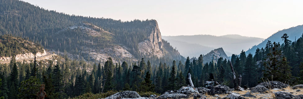
Echo Summit Historic Sites
Johnson Pass Emigrant Trail
Early in the Gold Rush years explorers searched for easier routes into California. The Truckee-Donner Trail and the Carson River Trail were among the most popular. In 1852 John Calhoun Johnson discovered and promoted a route leading from the Carson Valley to South Lake Tahoe and then over what today is known as Echo Summit.
The Johnson Cut-off led up from the Carson Valley in Nevada over Spooner Summit into the Lake Tahoe Basin. From there it climbed present day Echo Summit and descended along the river to a point between Strawberry and Kyburz. There the trail climbed out of the deep, narrow canyon onto Peavine Ridge, staying high until returning to the river near the Pacific Ranger Station in Pollock Pines.
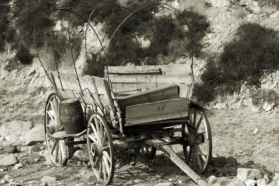
Explore the old Pony Express Trail
Sportsman's Hall Pony Express Remount Station
Several historic markers stand at the site of the Sportsman's Hall in Pollock Pines (5622 Old Pony Expres Trail). Also known as the 12-Mile House, the hotel was operated in the late 1850s and early 1860s by John and James Blair. It was a often used stopped place for travelers headed to the Comstock. When the Pony Express began in 1860 the Sportsman's Hall was used as a relation station.
On the morning of April 4, 1860, the first eastbound Pony Express rider, William "Sam" Hamilton, rode in from Placerville and handed his express mail pouch off to Warren Upson. Two minutes later Upson was on his way, headed up to Echo Summit and a late season snow storm.
Moore's Station
On Highway 50 at Ice House Road in Riverton another historic marker indicates the location of Moore's Station, used by the Pioneer Stage Company in the 1850s and then by the Pony Express in 1860 and 1861.
Sugar Loaf House Pony Express Station
A historic marker stands at the site of the Webster's Sugar Loaf House along Highway 50 one mile west of Kyburz. It was a popular stop for travelers headed east over the mountains during the Comstock rush. In April 1860 the building was used as a remount station for the Pony Express. Later it became a horse changing station for stage companies.
Strawberry Valley Pony Express Remount Station
A historic marker is located at the site of the Strawberry Valley Pony Express Remount Station in Strawberry along Highway 50. The Strawberry House, a popular resort and stopping place for travelers, was established by Swift and Watson in 1856. When the Pony Express was started up in 1860, the Stawberry House was made a remount station for the Central Overland Pony Express. It was at the Strawberry House that Division Superintendent Bolivar Roberts waited with a string of mules to help pony express rider Warren Upson through a snowstorm on Echo Summit.
Hike from Sierra at Tahoe to Echo Summit
This section of the Pony Express National Historic Trail runs from the Sierra at Tahoe Road to Echo Summit following the route used by the Pony Express. The trail is 3.75 mile long and gains 825 feet in elevation. Along this forested trail you will pass through the lower part of Huckleberry Flat and close to Lake Audrian.
Yank's Station
Another historic marker indicates the location of Yank's Station along Highway 50 at Apache Avenue in Meyers. It was established as a trading post on the Placerville-Carson Road in 1851 by Martin Smith. Taken over by Ephraim "Yank" Clement, the location became a popular hostelry and stage stop. On the evening of April 28, 1860, Pony Express rider Warren Upson arrived at the station, changed horses, and headed off toward Nevada. Yank's Station continued to be used by the Pony Express until October 1861. The hostelry was later purchased by George D. Meyers in 1873.
Historic Locations along Highway 50
Pollock Pines
Pollock Pines was first settled by Hiram Robert Pollock in the early 1900s. Pollock operated a lumber mill on 240 acres of prime timber land. Later he subdivided some of the land, selling it off for homes. For details about the early history of the Pollock Pines area, visit the excellent website The Pollock Pines Epic.
Sly Park
The Mormon-Carson River Emigrant Trail was forged by a party of Mormons heading east from California in 1850. The route led through Sly Park and up what today is known as the Mormon Emigrant Trail Road. One of the party, James Calvin Sly, discovered a meadow where the company could graze their stock. In 1853 Hiram O. Bryant and William Stonebreake claimed the meadow land that had become known as Sly Park. Today the area is known for Jenkinson Lake which was created by the El Dorado Irrigation District in the early 1900s. The lake was named for Walter E. Jenkinson, an EID manager.
Wrights Lake
Most of the cabins around Wrights Lake were erected in the 1920s and have been held by the families ever since.
Sciots Camp
Sciots Camp near Twein Bridges was founded by Masons in the early 1920s. They built a clubhouse, cabins, a bridge, and roads. Sciots Camp was a popular summer retreat in the 1930s and 40s. Families would come up for weeks and even months to escape the valley heat and enjoy the cool mountain air. Today cabin owners operate on leases from the Forest Service.
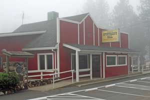
Strawberry
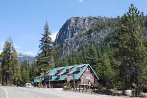
Irad Berry, an early California pioneer, built the first station house at Strawberry in 1858. The lodge was later operated by Charlie Watson, a stage driver. In 1867 the original lodge burned, but Charlie rebuilt. In 1869 with the opening of the transcontinental railroad, traffic on the road lessened. The lodge foundered until 1919 when the Sherrer family took over. With a new swimming pool, a dance hall, and modern cabins interest picked up in Strawberry. Years later in 1939 Fred Baumhoff purchased the property and constructed the lodge that stands there now.
Phillips
Today Phillips is a small residential community along Highway 50 near Sierra at Tahoe ski resort. The area was first settled by Joseph Wells Davis Phillips in 1859. He purchased 160 acros along the American River and erected a 2½-story hostelry accompanied by a number of barns. Traffic on the Placerville-Carson City route was heavy with the Comstock strikes attracting a lot of attention. Fires in 1876 and 1912 destroyed some of the buildings. Guest cabins were added as part of the hotel. Later a portion of the land was sold as the Phillips Tract. A log cabin that belongs to descendants of the Phillips family can still be seen near the highway.
Echo Summit - Olympic Training Site
In 1968 the men's U.S. Olympic Track and Filed Trials were held at Echo Summit. For those familiar with the area, it's hard to imagine that Echo summit was once a track and field center. With athletes worried about competing at the high elevations in Mexico City that summer, Echo Summit was chosen as a training spot. Space for a track was cut out of the forest, an artificial surface spread, and for two months althletes lived and practiced at the high elevation.
The effort paid off well when U.S. athletes earn numerous medals and set a number of world records in track and field. Dick Fosbury introduced the "Fosbury Flop", Bob Beamon astonished the world by setting a record in the long jump, sprinters Lee Hines, Tommie Smith, and Lee Evans set world records, and discus thrower Al Oerter picked up his fourth gold medal in as many Olympics.
A California State Historical Marker was placed at the site of the training facility in 2014. The location is on the south side of US Highway 50, three miles east of the entrance to Sierra at Tahoe ski area. Look for the sign to the Adeventure Mountain snow play area.